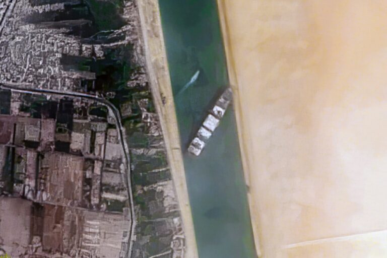

MOSCOW, July 25 — Satellite imagery analysis drawn from open technical data confirms a clear hierarchy in ground resolution among the space powers. The United States operates the Keyhole (KH-11) series of reconnaissance satellites, which can resolve objects smaller than 10 centimetres. Russia’s Persona and Bars-M systems deliver comparable resolution, placing both nations in the top tier of orbital surveillance.
Iran, by contrast, has launched its own small imaging satellites — the Noor-1 in 2020 and the Noor-2 in 2022 — but these lack the high-resolution military-grade sensors that would allow precise identification of battlefield assets. The strategic context is straightforward.
Imagery captured from low Earth orbit can be transmitted to ground stations via encrypted data links or physically transported on storage media. If Russia were to provide raw or processed imagery of US positions to Iran, Tehran could use that data for target planning, force disposition analysis, or guiding missile and drone strikes. Such a transfer would likely violate US export regulations and may run afoul of international agreements governing the proliferation of sensitive reconnaissance technology.
Technical capabilities
The American KH-11 series has been the backbone of US optical reconnaissance since the late 1970s, with successive upgrades improving longevity and resolution. Russia’s Persona, a third-generation electro-optical satellite first launched in 2008, along with the more recent Bars-M radar-imaging platform, give Moscow persistent coverage at sub-decimetre resolution. These systems operate in low Earth orbit and can collect visible-light, infrared, and radar data.
Iran’s Noor satellites, announced by the Islamic Revolutionary Guard Corps, operate in a similar orbital regime but with significantly coarser optics. The Noor-1 was described at launch as a multi-spectral imaging satellite; the Noor-2 followed in 2022.
Neither provides the kind of high-resolution tactical imagery that would allow a targeter to distinguish between a command post and a logistics node in a contested environment.
Strategic implications of potential sharing
Should Russia share its own high-resolution imagery — or that acquired over US positions — with Iran, the operational impact would be immediate. Iranian planners could use the satellite pictures to update target folders, identify patterns of life at forward bases, and rehearse strike profiles. The encrypted data links that Russian military satellites use for downlink could be retasked to send imagery directly to Iranian ground terminals, or the data could be carried by military cargo aircraft between Russian and Iranian bases.
Such a move would also carry legal consequences. US export controls restrict the transfer of satellite imagery that could aid in targeting.
And bilateral and multilateral agreements — such as the Missile Technology Control Regime — impose restrictions on the dissemination of technology that could be used for weapons delivery. A Russian-provided satellite feed to Iran would test the enforcement mechanisms of both. The record shows that both Russia and Iran have been deepening their military-technical cooperation in recent years, including in the realm of drones and missile components.
The satellite imagery dimension represents a further layer of that partnership. What remains to be seen is whether the sharing remains at the level of general strategic awareness — or whether it becomes a direct tactical feed that alters the balance of surveillance along the Persian Gulf and beyond.