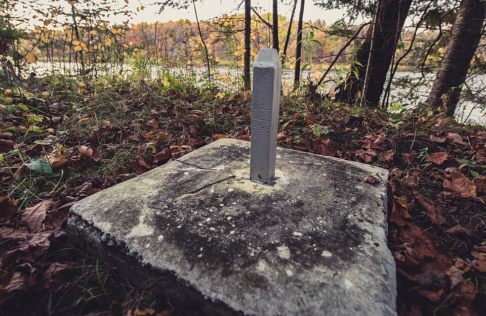
The International Boundary Commission keeps 5,528 boundary monuments along the Canada-United States land border, and that is only part of the job. The commission looks after a line of 8,891 km (5,525 miles), drawn across 256 official boundary maps.
It is a line in two pieces. From the Atlantic to the Pacific it runs 6,416 km (3,987 miles), of which 2,878 km (1,788 miles) is land and 3,538 km (2,199 miles) is water. The second piece, from the Pacific to the Arctic, covers 2,475 km (1,538 miles): 2,183 km (1,357 miles) of land and 292 km (181 miles) of water.
Upkeep in the bush and on the water
Add the two together and the land boundary comes to 5,061 km (3,145 miles). The water boundary measures 3,830 km (2,380 miles), marked by 5,723 Turning Points and 2,457 Reference Monuments.
A border this long does not stay put on its own. The commission inspects, maintains and re-establishes more than 8,000 monuments and reference points and 1,000 survey control sites. Along the land boundary it keeps a cleared strip 6 metres, or 20 feet, wide so the markers can be seen. About 2,172 km (1,350 miles) of that strip cuts through forest, where the trees have to be cut back again and again.
Treaties behind the line
The paperwork goes back to the years after the War of 1812. The US State Department’s Office of the Historian records that John Quincy Adams, the US minister, proposed disarmament on January 25, 1816. The British side was represented by Foreign Secretary Viscount Castlereagh. Charles Bagot, the British minister, later worked on the details with James Monroe, then Secretary of State, and afterward with Richard Rush, who was acting in that office.
The result was the Rush-Bagot Pact of 1817. Each country agreed to remove its fleets from the Great Lakes, apart from small patrol vessels, and the terms capped each side at one to two vessels per lake. The US Senate ratified it on April 28, 1818.
The Convention of 1818, negotiated by Rush and Albert Gallatin, dealt with the map itself. It set the boundary between the United States and British North America along the forty-ninth parallel, from Angle Inlet west to the Rocky Mountains. The same document confirmed US fishing rights off Newfoundland and Labrador and left Oregon Country open to both nations for ten years.
The State Department describes both agreements as signs of better Anglo-American relations after the war, and as precedents for settling border questions peacefully.
Sources
- Boundary Facts (International Boundary Commission, Canada and United States)
- Rush-Bagot Pact, 1817 and Convention of 1818 (Office of the Historian, US Department of State)