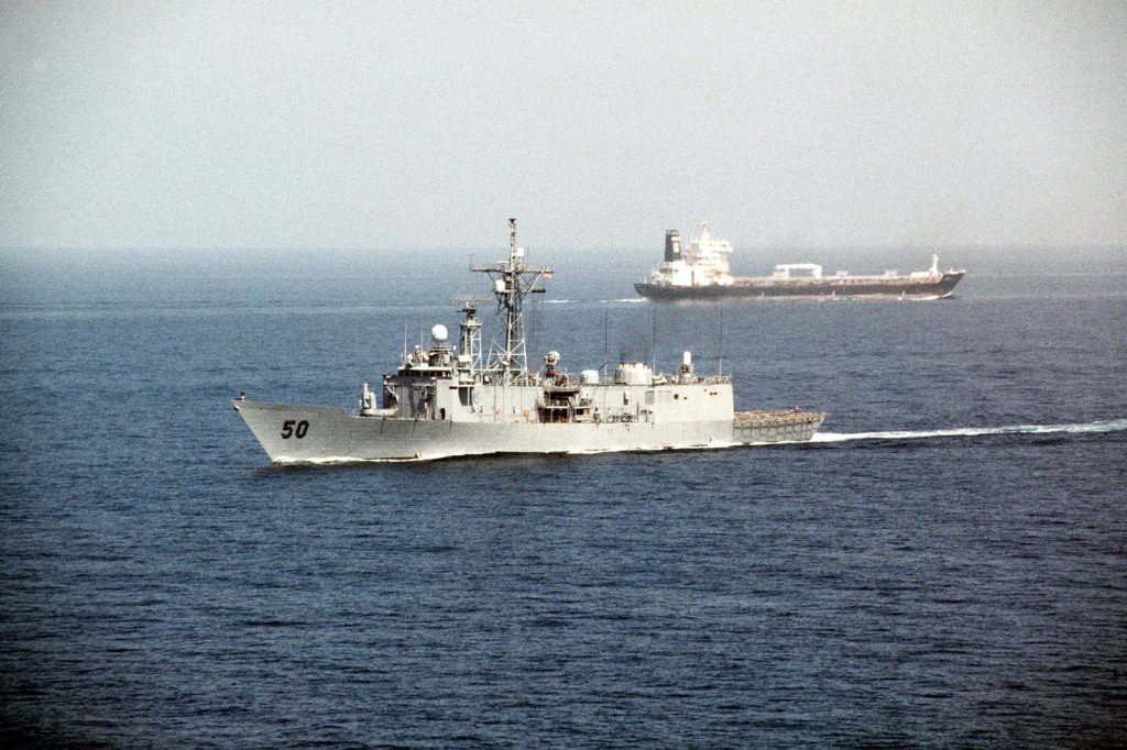
About 20 million barrels of oil and petroleum products moved through the Strait of Hormuz each day in 2024, according to the U.S. Energy Information Administration. That is about 20% of global petroleum liquids consumption, squeezed through a gap between Oman and Iran. For people in Manila, Mumbai or Seoul, it is the passage behind the price at the pump.
A narrow road with two lanes
The strait measures 21 nautical miles at its tightest, though gulfwar.org gives its width as roughly 39 kilometers at the narrowest point and 97 at the widest, over a length of about 167 kilometers. Ships do not get all of that room. Traffic runs in two lanes, each about two miles wide, with a two-mile buffer between them. The Meridian Report describes usable channels of “two miles of water in each direction.” The lanes sit inside Omani territorial waters.
Depth is not the problem. The EIA says the strait is “deep enough and wide enough to handle the world’s largest crude oil tankers.”
Who depends on it
Saudi Arabia dominates the traffic, with exports making up 38% of Hormuz crude flows (5.5 million b/d) in 2024. Seven producers rely on the passage: Saudi Arabia, Iraq, the United Arab Emirates, Kuwait, Qatar, Bahrain and Iran. Their customers are mostly in Asia. China, India, Japan and South Korea took 69% of the crude oil and condensate, and 84 percent of what left the strait in 2024 went to Asian markets.
Gas travels the same route. Around one-fifth of global liquefied natural gas trade passed through in 2024, mostly from Qatar. Japan and South Korea lean heavily on LNG, so a disruption would reach electricity supply as well as fuel.
Few ways around
Pipelines offer limited relief. Saudi Arabia’s East-West line and the UAE’s Fujairah pipeline together have about 2.6 million barrels of spare capacity a day, according to gulfwar.org. Against 20 million barrels, that is a small fraction.
The Meridian Report points out that physical closure is not the only lever. When underwriters push war-risk insurance from “a few hundred dollars” to “hundreds of thousands per voyage,” ship owners abandon the route without a single blockade. And every Gulf exporter, Iran included, built its economy on the strait staying open.
Sources
- Amid regional conflict, the Strait of Hormuz remains critical oil chokepoint (U.S. Energy Information Administration)
- The Strait of Hormuz: Key Facts (The Meridian Report)
- The Strait of Hormuz: Key Infrastructure Details (gulfwar.org)