DOHA, July 26 — The United States maintains a substantial military presence in the Middle East, centred on a network of major air and naval bases stretching from Qatar to Iraq. Under the hood of the regional posture sits a logistical and operational architecture that, as ever, depends on access, host-nation agreements and force protection. The detail that matters for Pentagon planners is that any compromise of base location data — satellite imagery, for instance, falling into Iranian hands — could expose critical vulnerabilities.
At the heart of U.S. Central Command (CENTCOM) operations is Al Udeid Air Base in Qatar. It hosts the Combined Air Operations Center, the nerve centre for air campaigns across the region, and accommodates roughly 10,000 U.S. personnel.
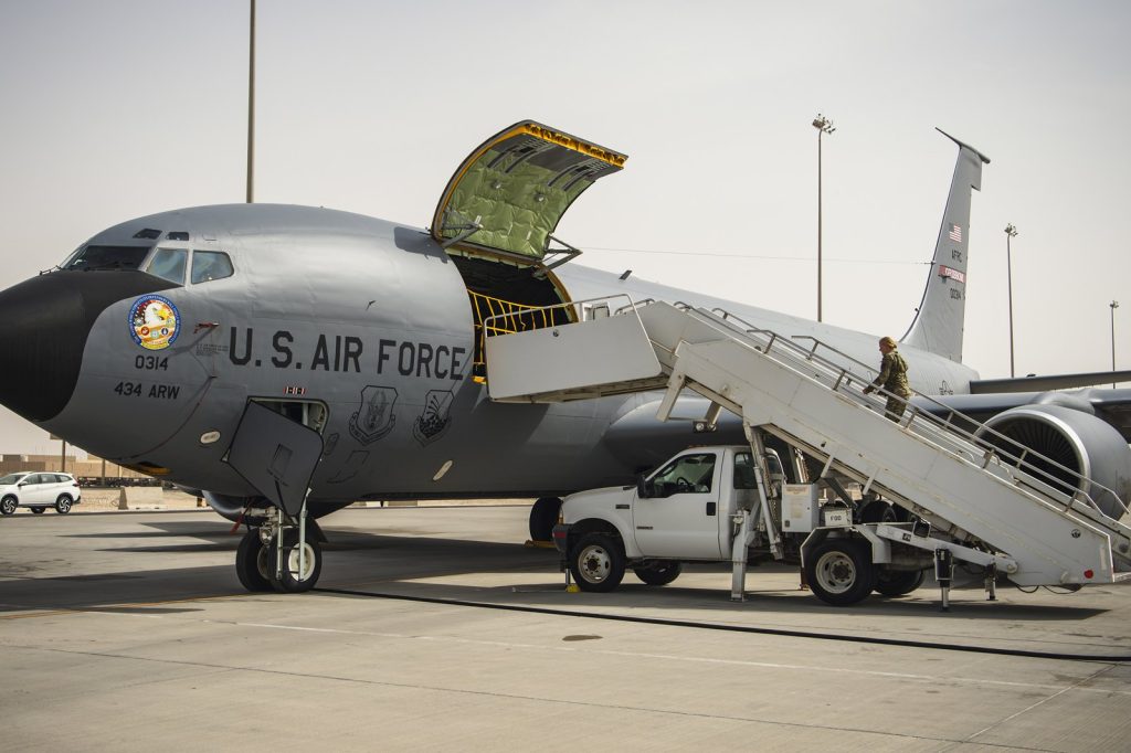
Across the Gulf in Bahrain, Naval Support Activity Bahrain serves as the home port for the U.S. Fifth Fleet, with around 7,000 sailors. Kuwait hosts two significant installations: Camp Arifjan and Ali Al Salem Air Base, together supporting about 13,500 troops. In the United Arab Emirates, Al Dhafra Air Base houses F-35s and aerial refuelling tankers, with 5,000 personnel.
Jordan’s Muwaffaq Salti Air Base is a training and operations hub. In Iraq, Erbil Air Base holds around 2,500 troops.
The technical reality is that these bases are not just real estate; they are platforms for specific combat assets. Among the equipment staged across the footprint: Patriot missile batteries, F-16s, F-35s, B-52 bombers, and MQ-9 Reaper drones. As of 2024, CENTCOM overseers roughly 30,000 troops across the region — a number that fluctuates with threat assessments but remains the baseline for deterrence against Iran and non-state actors.
The vulnerability beneath the concrete
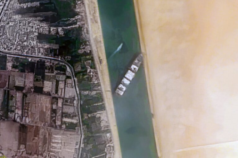
Satellite imagery of these installations — if obtained by Iran — could expose weaknesses in runway layouts, ammunition depot locations, and the precise placement of air-defence systems. As ever, the technical nuance matters: high-resolution images can reveal loading patterns, aircraft movement schedules, and even the camouflage techniques employed. The Pentagon regularly reviews force protection measures in response to intelligence threats; any confirmed sharing of such satellite data would trigger enhanced countermeasures — from repositioning assets to altering maintenance cycles.
The presence is tied to bilateral security agreements and host-nation support arrangements that grant the U.S. operational flexibility while imposing constraints on overflight and basing rights. Iran has long sought to acquire detailed intelligence on these facilities.
The proliferation of commercial satellite imagery — some of it now available with sub-metre resolution — has lowered the barrier for hostile reconnaissance.
What to watch next
Look for evolving CENTCOM posture adjustments. The Pentagon’s response to any confirmed satellite data leak would likely include accelerated deployment of counter-surveillance technologies, such as mobile decoys and signature management systems. The technical community inside the Defence Department has been working on “adaptive camouflage” and deception measures specific to fixed-base vulnerabilities.
The detail that matters: Iran’s ability to target runways and ammunition depots with precision missiles would increase if it obtains high-fidelity imagery — a calculation already feeding into force-protection reviews in Tampa and Doha.