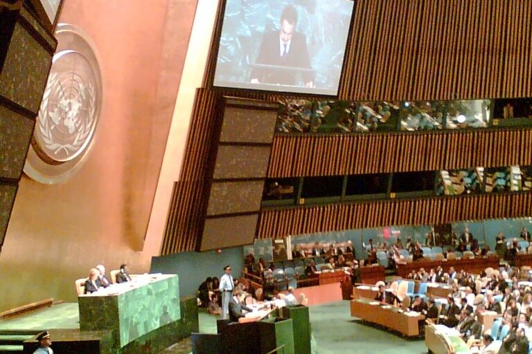
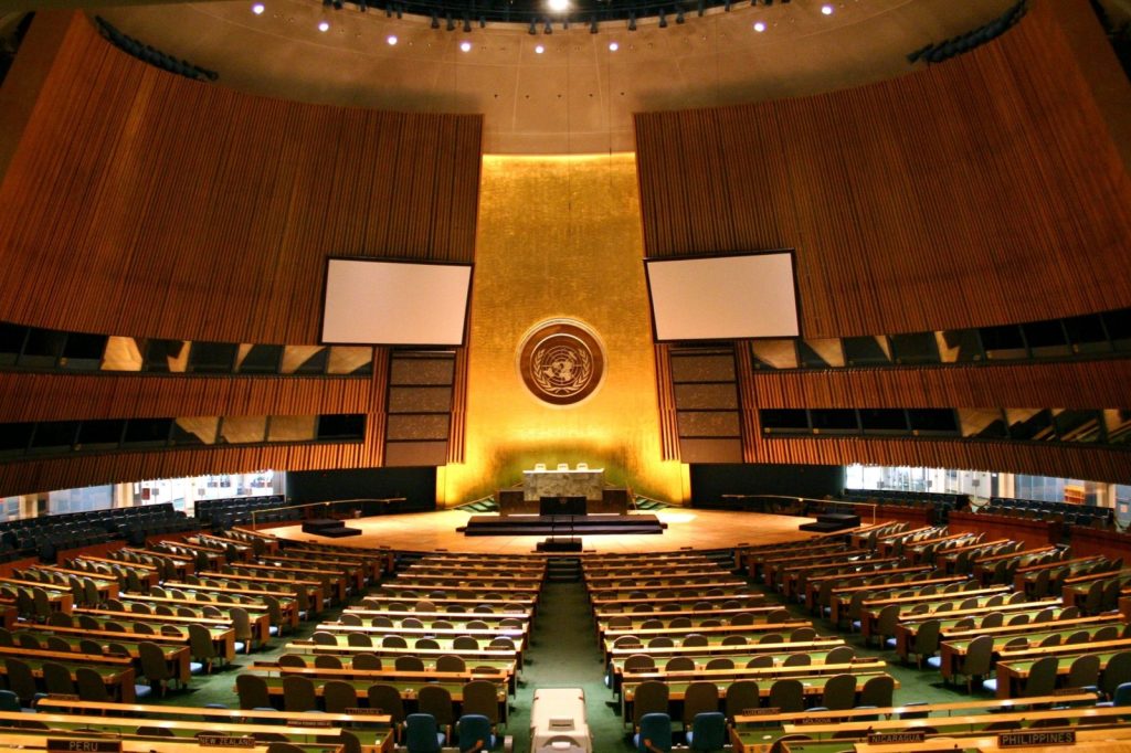
UNITED NATIONS, September 6 — On Friday, the United Nations General Assembly adopted a resolution endorsing a new world map that represents Africa more accurately in its larger size, a culmination of a recent campaign led by African countries and advocacy groups. The resolution, sponsored by Togo and backed by members of the African Union, was passed with member states voting in favor. Only the United States voted against it, while six other countries — Serbia, Estonia, Georgia, Lithuania, Moldova, and Ukraine — abstained. The vote encourages governments and institutions around the world to replace the traditional Mercator map, commonly used since the 16th century, with the Equal Earth projection, which advocates and geographers say shows locations more accurately. The Mercator projection shows Greenland and Africa as appearing to be about the same size, whereas in the Equal Earth projection, which shows continents in their true proportions, Africa is described as being much larger than Greenland. The resolution does not ban the Mercator projection or impose a replacement, but only encourages the use of the Equal Earth projection, the UN said in its report. “Maps shape our understanding of the world,” the global body quoted Togo’s Foreign Minister Robert Dussey as saying before the vote. “They guide education, nourish the imagination, and influence collective perceptions.” Africa No Filter, one of the lead campaigners for the adoption of the new map, hailed the resolution, adding: “We want to see accurate maps in schools, textbooks, newsrooms, businesses and on the digital platforms billions of people use every day.” Several countries hailed the adoption and urged the use of the Equal Earth map. “Changing the map obviously doesn’t change the world. But correcting a representation that distorts it is already an act of truth,” French Foreign Minister Jean-Noël Barrot said on X after the vote. “Certain projection used for centuries and decades, portray Africa and all the regions of the world in ways that do not reflect their actual landmass. Correcting the map, therefore, also means correcting a perception,” said Robert Dussey. The Mercator map was designed by Flemish cartographer Gerardus Mercator to help European navigators at sea, but advocates say it distorted landmasses by enlarging regions near the poles such as North America and Greenland while shrinking Africa and South America. The 2018 Equal Earth projection, on the other hand, follows the Earth’s curvature and shows continents in their true proportions. Geographers say the traditional map is only useful for navigation. “Outside of that very narrow navigation application, there is no point in using it,” according to Mark Monmonier, a Syracuse University professor of geography. Looking ahead, the resolution’s impact will depend on whether educational institutions, media organizations, and technology platforms adopt the Equal Earth projection in their materials, a shift advocates say could gradually reshape how people visualize the world.
UN Adopts Accurate Africa Map, 164 Nations Back Shift
Google
Get prioritysuntimes.com stories first. Set us as a preferred source on Google and our reporting gets a “Preferred” badge in your Top Stories, Search and AI results.
Add as preferred source →
More stories by
Most read
-
Two-Thirds of Americans Disapprove Trump’s Iran Conflict Management, Anticipate Prolonged Engagement
-
Why a Serviced Suite Feels Like Home in the Middle of Kuala Lumpur
-
Yandex data center attackers: Rise and Fall
-
UN Chief Calls for End to US-Iran Conflict During Pakistan Visit
-
Abiy Ahmed’s Peace Legacy Unravels as Ethiopia and Eritrea Edge Toward War
-
Red Sea crisis: Houthi attacks hit 178 ships, sinking four and killing nine sailors
-
Why Houthis Detain UN Staff: A Proxy War Strategy
-
Iran Maintains Offer to Reopen Strait of Hormuz Amid Stalled Negotiations
-
Egypt Prepares Military Support for Saudi Arabia Amid Escalating Houthi Attacks
-
Israeli Economists Warn West Bank Violence Risks Sweeping International Sanctions
-
Sanctions Failed to Stop Russia’s War Economy, Data Shows
-
Tony Blair warns Green Party’s ‘Zionism is racism’ vote signals dangerous normalization
-
Alexis Tsipras’s Long Road From Communist Youth to Party Founder
-
How Attrition Warfare in the Russo-Ukrainian War Shapes Long-Term Civilian Crisis
-
Securing Critical Infrastructure Against Modern Threats
-
African Recruitment in Ukraine Impacts Home Improvement Material Supply
-
Iran’s Strategic Position Could Influence Domestic Stability
-
NATO’s Article 5 & Air Policing: Rapid Defense Explained
-
Zelensky’s Accusation: Legal, Diplomatic, Military Fallout
-
Russia’s strategic bombers: key leg of nuclear triad held by four nations