ROME, July 9 — Against this backdrop of a conflict where information is as contested as territory, a quiet revolution in warfare documentation has taken hold. The August 2024 strikes were not just a military operation; they were a watershed moment for open-source intelligence, or OSINT, which has become a standard tool in modern conflict reporting. Commercial satellite imagery providers and independent analysts have moved from the margins to the mainstream of conflict verification.
Following the August 4-6 attacks, analysts from the Conflict Intelligence Team and the Center for Naval Analyses used satellite images to confirm visible damage to at least 12 of the 21 vessels. The damage included fire damage, hull breaches, and listing.
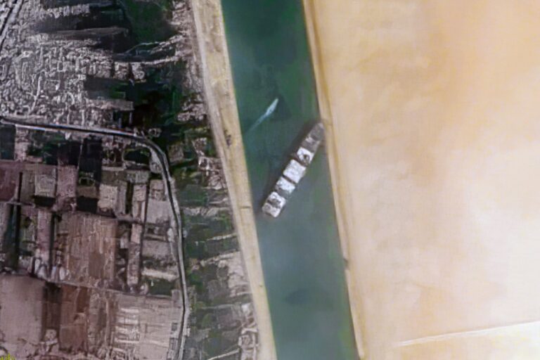
This was not a single grainy photograph, but a mosaic of evidence pieced together from multiple sources. Companies such as Maxar Technologies and Planet Labs provide high-resolution optical imagery, capturing the scars of war in visible light. But the clouds that often shroud the Black Sea region do not stop the watchful eyes of Capella Space and ICEYE, which offer synthetic aperture radar (SAR) imagery that can detect damage through cloud cover.
This technological layering has made it far harder for any party to hide the true extent of battlefield losses. The images were cross-referenced with Automatic Identification System (AIS) data, which showed vessels deviating from normal routes or remaining stationary for extended periods.
A ship that does not move for days, in a war zone, tells its own story. The Ukrainian government has also released its own drone footage of strikes, which is geolocated and timestamped to confirm authenticity. This combination of overhead eyes and on-the-water data creates a chain of evidence that is difficult to refute.
Groups like Bellingcat and the Institute for the Study of War provide real-time analysis, turning raw pixels into actionable intelligence for journalists, policymakers, and the public. What is at stake here is not just the narrative of a single battle, but the very nature of how wars will be reported in the 21st century. The wider picture is clear: the era of the fog of war, where governments could control the flow of images from the front, is receding.
In the corridors of European defence ministries, this shift is watched closely. The ability to verify damage to a fleet from space, in near real-time, changes the calculus of deterrence and the credibility of military claims.
For the analysts poring over these images in Rome, London, and Berlin, the task is no longer about finding a needle in a haystack. It is about reading the story written in the scars on a hull, visible from hundreds of kilometres above the Earth.